Oak Grove Heights, Missouri
Unincorporated community in the American state of Missouri
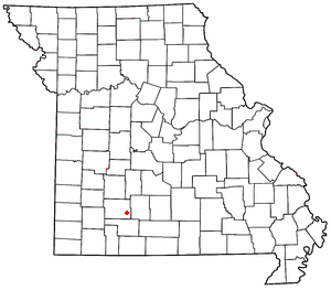
Oak Grove Heights is an unincorporated community in eastern Greene County, Missouri, United States.[1] It is located on Route 125, approximately five miles northwest of Rogersville and one mile south of the James River.[2]
The community grew around the location of the Oak Grove School[3] which was two miles west of the James River community of Turners and just northeast of Turner Creek and the old St. Louis–San Francisco Railway (currently the BNSF Railway) which followed the stream course.[4]
References
- ^ U.S. Geological Survey Geographic Names Information System: Oak Grove Heights, Missouri
- ^ Missouri Atlas & Gazetteer, DeLorme, 1998, First edition, p. 52, ISBN 0-89933-224-2
- ^ "Greene County Place Names, 1928–1945 (archived)". The State Historical Society of Missouri. Archived from the original on June 24, 2016. Retrieved December 23, 2018.
{{cite web}}: CS1 maint: bot: original URL status unknown (link) - ^ Ozark, MO, 15 Minute Topographic Quadrangle, USGS, 1945
- v
- t
- e
Municipalities and communities of Greene County, Missouri, United States
County seat: Springfield
- Ash Grove
- Battlefield
- Fair Grove
- Republic‡
- Rogersville‡
- Springfield‡
- Strafford
- Walnut Grove
- Willard

- Brookline
- Cass
- Clay
- East Republic
- Murray
- Pond Creek
- Springfield
- Taylor
- Walnut Grove
- Washington
- West Republic
- Wilson
communities
‡This populated place also has portions in an adjacent county or counties
- Missouri portal
- United States portal
37°10′26″N 93°07′07″W / 37.17389°N 93.11861°W / 37.17389; -93.11861
 | This Greene County, Missouri state location article is a stub. You can help Wikipedia by expanding it. |
- v
- t
- e


